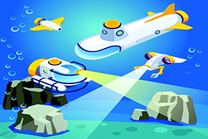
This article describes a multiyear survey of cobalt-rich manganese crust (Mn-crust) deposits using multiple underwater robots. Using two autonomous underwater vehicles and one remotely operated vehicle, mounted with camera systems, multibeam sonar, and subbottom sensors, large areas were surveyed by incorporating the advantages of each robot to create a comprehensive database of Mn-crust distribution estimates. The robots clocked in a total of 438 hours of seafloor observation, surveying about 589 km of seafloor in different locations. Specific use cases of the survey methodology and example results showing how each sensor contributes to the understanding of Mn-crust distribution are shown. The results from this survey can be combined with ship base multibeam data for seamount-scale estimates of Mn-crust volumetric distribution with high accuracy.
